How Will Climate Impact your Crop Yields?
CASA 2100
The CASA 2100 modeling methodology begins from present‐day satellite remote sensing data collected at the level of individual agricultural fields.
Resources for Growers
Corn Crop Production Predicted from Satellite Sensor Data
Potato Crop Production Monitored from Daily Satellite Sensor Data
2012 Almond Crop Production Predicted from CASA 2100 Systems
California Rangeland Production Predicted from Satellite Data
Potato Crop Production Monitored from Daily Satellite Sensor Data
2012 Almond Crop Production Predicted from CASA 2100 Systems
California Rangeland Production Predicted from Satellite Data
NEW PRODUCTS AND DATA SERVICES FROM CASA SYSTEMS 2100:
CropMap Subscriptions for 2022 Available 5/1/22 - SpudMap, BeanMap, CornMap
Click for FREE DEMO
Click for CropMap Order Form
CropMap Subscriptions for 2022 Available 5/1/22 - SpudMap, BeanMap, CornMap
Click for FREE DEMO
Click for CropMap Order Form

CASA 2100 (Twenty‐One Hundred) offers regional‐scale assessment toolkits to monitor present-day cropland production from satellites and to predict the impacts of climate warming on sustainability of agricultural production and future water demands in croplands worldwide.
Recent Reports from CASA Systems 2100
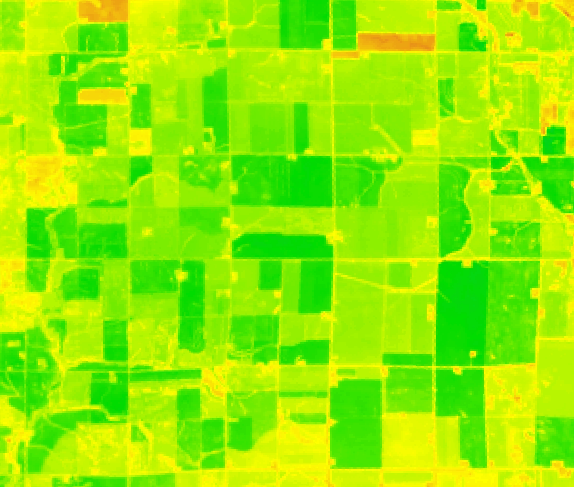
The SoyMap Tool Kit powered by CASA 2100 satellite products gives soybean farmers easy access to visual and numerical data on how soybeans fields in Illinois are producing every week.
 UNIQUE OFFER: REAL-TIME CROP STRESS
 IMAGERY OF YOUR FIELDS
CASA Systems 2100 is offering a FREE TRIAL sample just like the one at left to corn and soybean growers for up to three field locations of your choice. Demo it today for past pest and drought impacts to prove the value, and purchase a subscription for the upcoming field season.
Global Rangeland Carbon Exchange is on Facebook (Click here)