CASA 2100
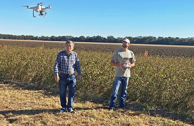
Schedule a FREE Drone Flight Demonstration Today

How Will Climate Impact your Crop Yields?
CASA 2100 (Twenty‐One Hundred) serves all of California's agricultural lands with high-resolution drone imaging to map crop growth status and detect moisture or nutrient stress on a daily basis.
The Normalized Difference Vegetation Index (NDVI) is the most widely used remote sensing product to instantly map crop fields and rangeland pastures down to a few inches resolution. NDVI will detect moisture and nutrient stress problems before they severely impact your farm or grazing lands. Drone technology now enables daily flyovers of your fields at an affordable price point -- Contact us for details on how you can get same-day images of all your crops.
For more on NDVI used by CASA 2100 --- CLICK HERE
For more on NDVI used by CASA 2100 --- CLICK HERE